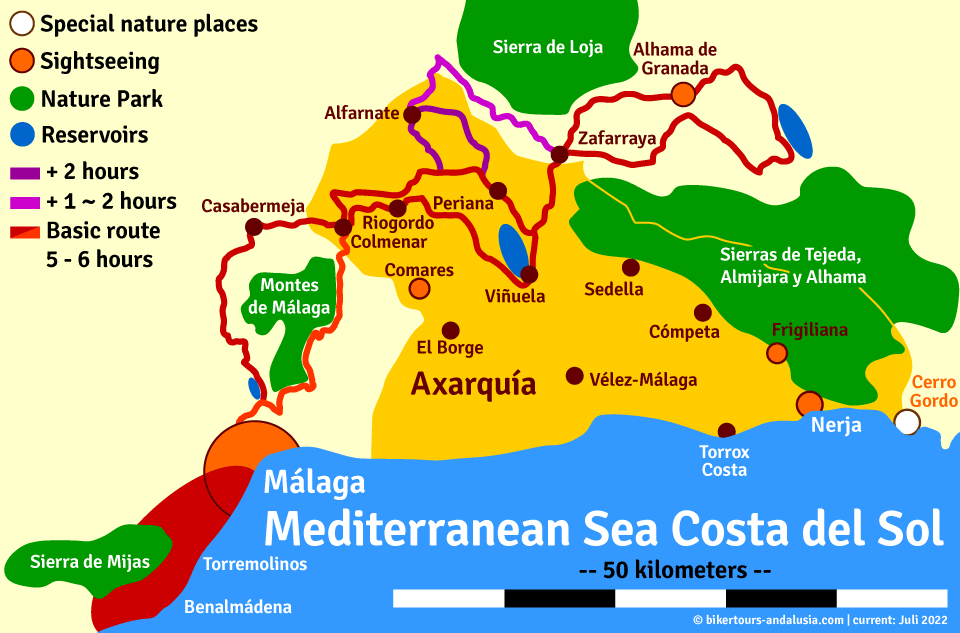
La Axarquia and the Northeast

Stages of the route
- Drive to the Montes de Málaga Nature Park | The Montes de Málaga Nature Park, which begins five kilometres north of the city, is a very steeply ascending mountain massif almost without valleys or plains, criss-crossed by countless torrents, steep paths and passes. Today it is considered one of the best examples of a largely successful reforestation of a typical Mediterranean forest. The nature park is particularly known for its stable occurrences of animal species, some of which are threatened with extinction. These include first and foremost chameleons, beaded lizards, ribbed newts, badgers, polecats, foxes, weasels, broom and wild cats, stone martens, wild boars as well as serpent and booted eagles, owls, sparrow hawks and goshawks.
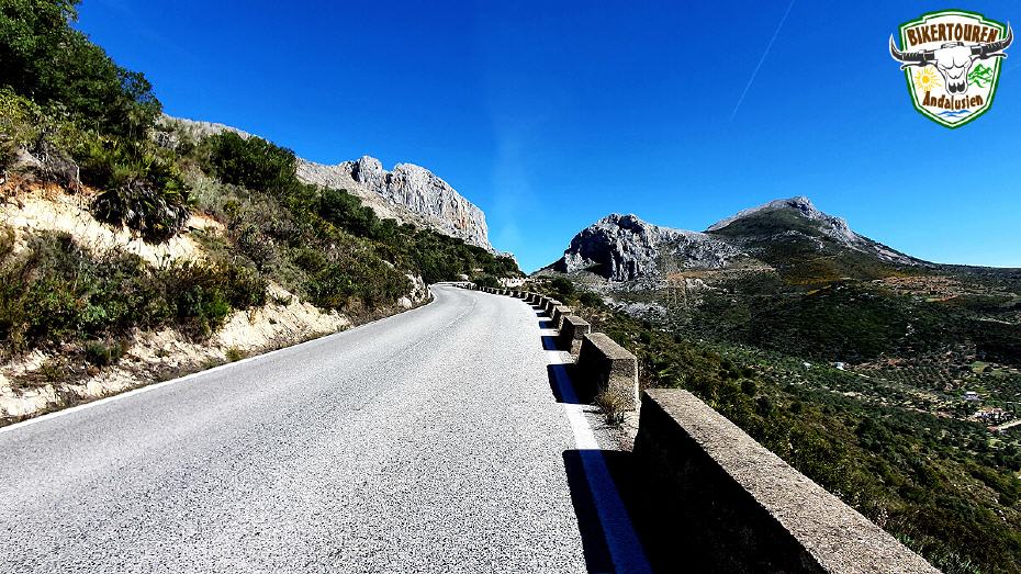
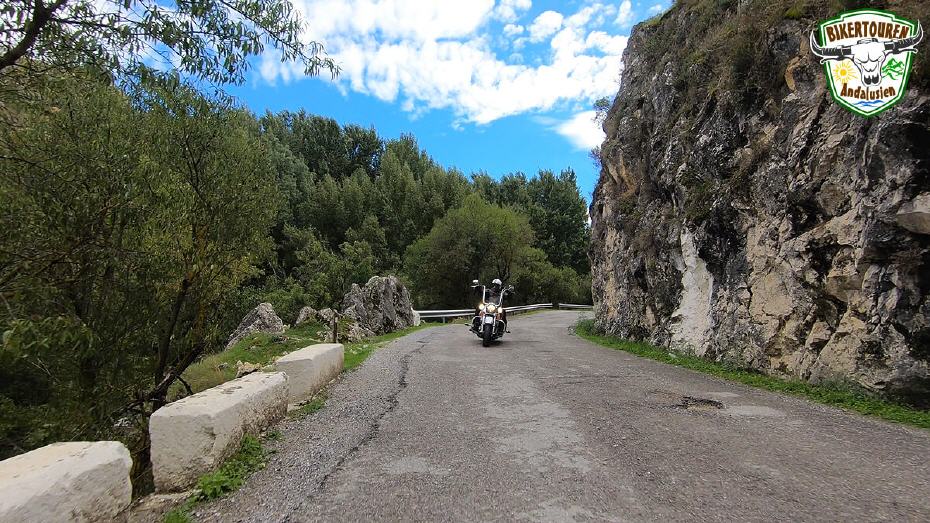
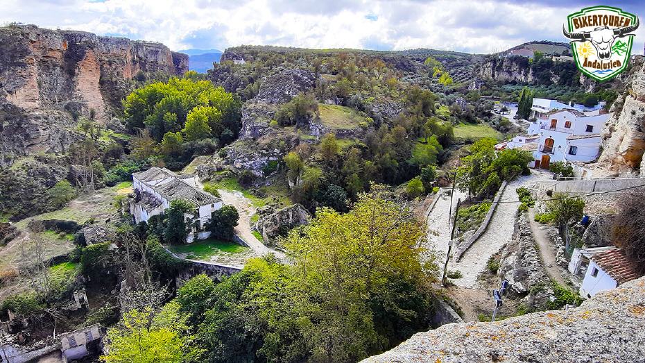
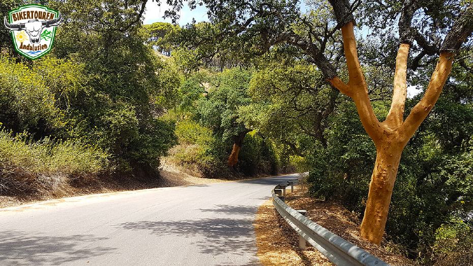
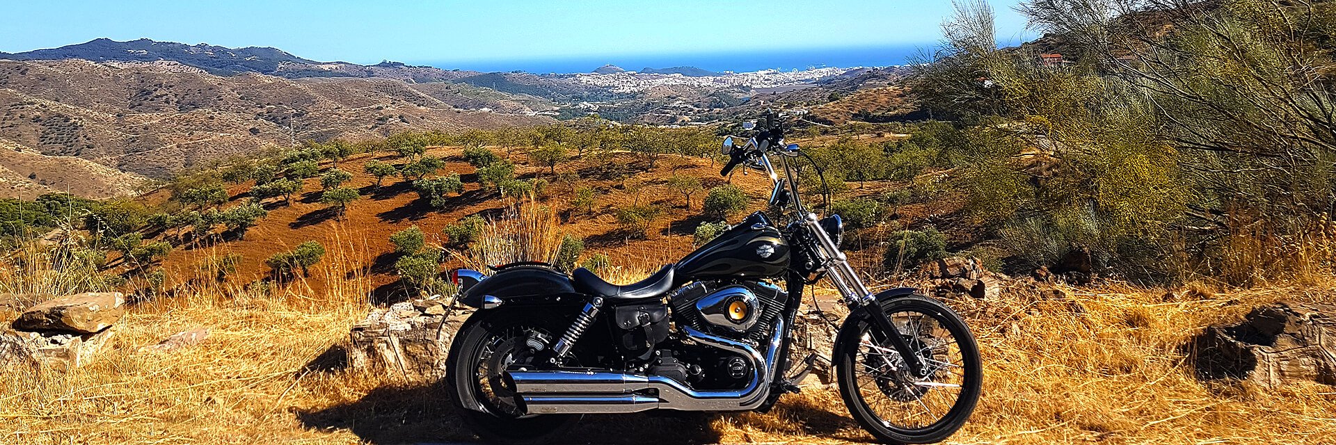
- Passage of the northern Axarquía | Axarquía, which means "to the east". This is where the Moors moved to during the reconquest by the Catholic Monarchs after ruling the country for 800 years. The Axarquía surprises with snow-capped peaks, rugged cliffs, fertile plains and narrow valleys. On the mountain slopes cling picturesque, flower-adorned White Villages (Pueblos Blancos), so typical of Andalusia, where tradition is still alive and finds expression in numerous festivals and celebrations.
- Drive through the white villages of Colmenar and Riogordo | The "larder of the province of Málaga". The name Colmenar derives from the beehives (colmena) of traditional honey production. The village of Riogordo is known for its Passion plays during Easter week.
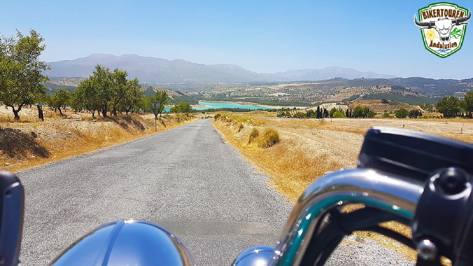
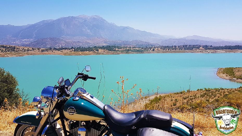
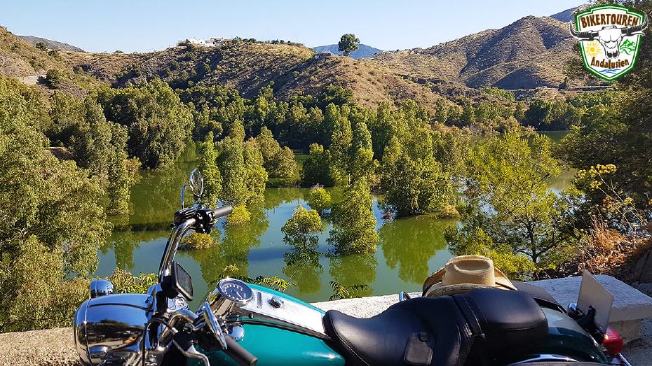
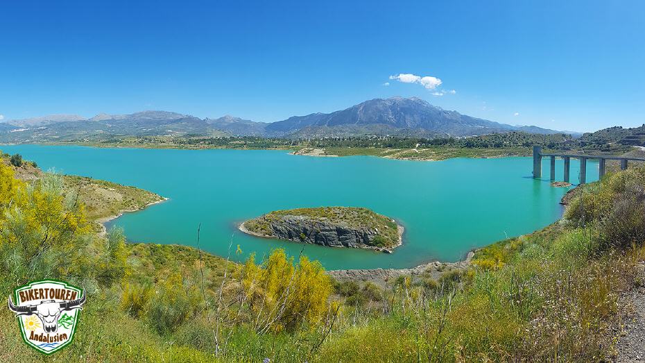
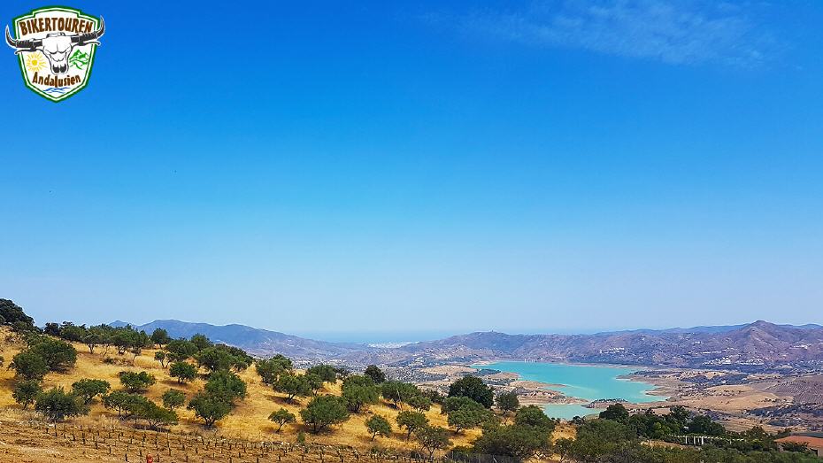
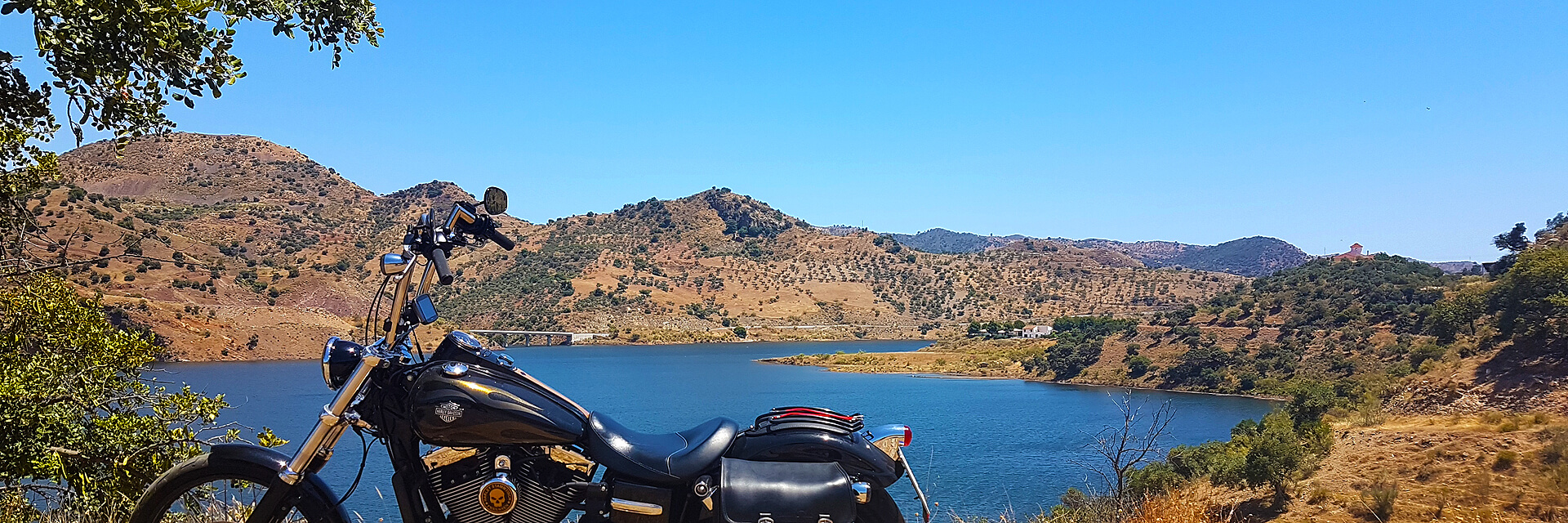
- Southern circumnavigation of the reservoir at Viñuela | The area around the turquoise-coloured reservoir La Viñuela is a popular destination for excursions. It extends over 565 ha, making it the largest lake on the Costa del Sol. The reservoir gets its water mainly from the Río Guaro and from the tributaries of the Río Sabar, Río Benamargosa and Río Salia. Although the reservoir was artificially created in the nineteenth century, today it blends harmoniously into the natural landscape.
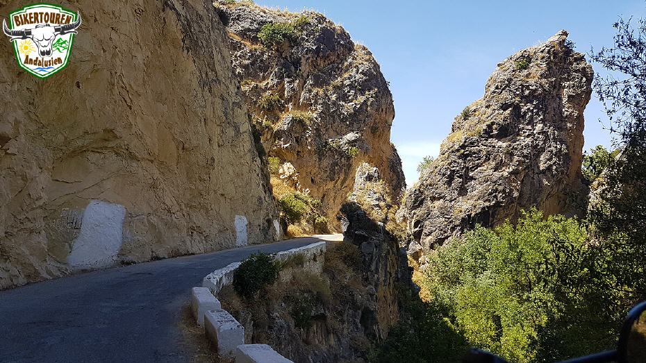
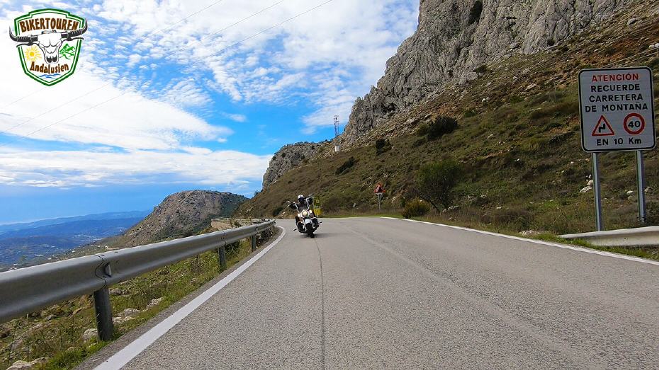
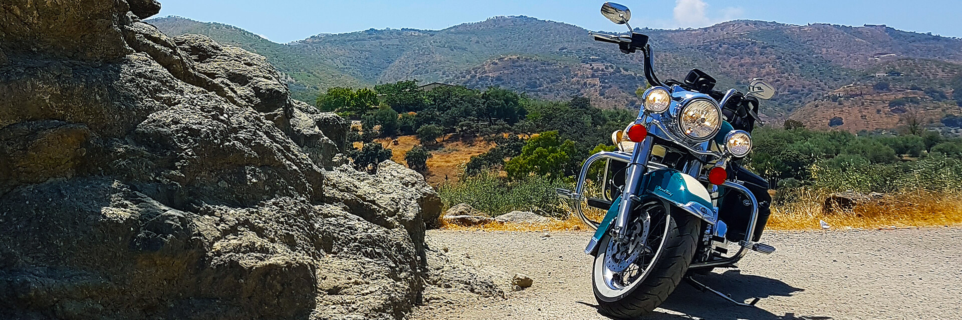
- Crossing the mountain pass at Zafarraya | This imposing pass between the province of Málaga and the province of Granada has been used since the Stone Age. The 40,000-year-old bones of a Neanderthal were found in the Boquete de Zafarraya cave, right next to the pass.
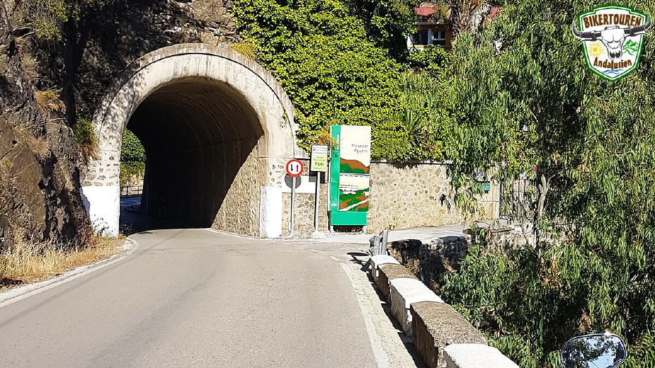
- Visit to Alhama de Granada | Situated on a huge rocky spur, surrounded by a deep ravine through whose bed flows the Río Alhama, the town offers magnificent views of the surrounding area. The area was inhabited as early as the Neolithic Age. The Roman Octavian built the first thermal baths. During the Islamic period, the place was called Al-hama, which means "the bath", because of the healing powers of its thermal springs, which were appreciated throughout antiquity.
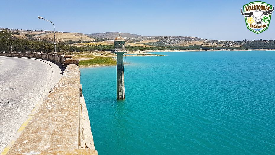
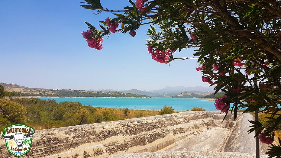
- Western circumnavigation of the Los Bermejales reservoir | The turquoise-blue lake is fed by streams from the mountains. The special feature is a tower that rises out of the water in the middle of the reservoir. We cross the dam.
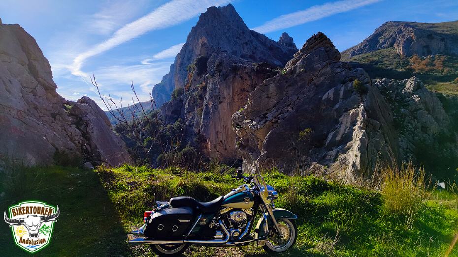
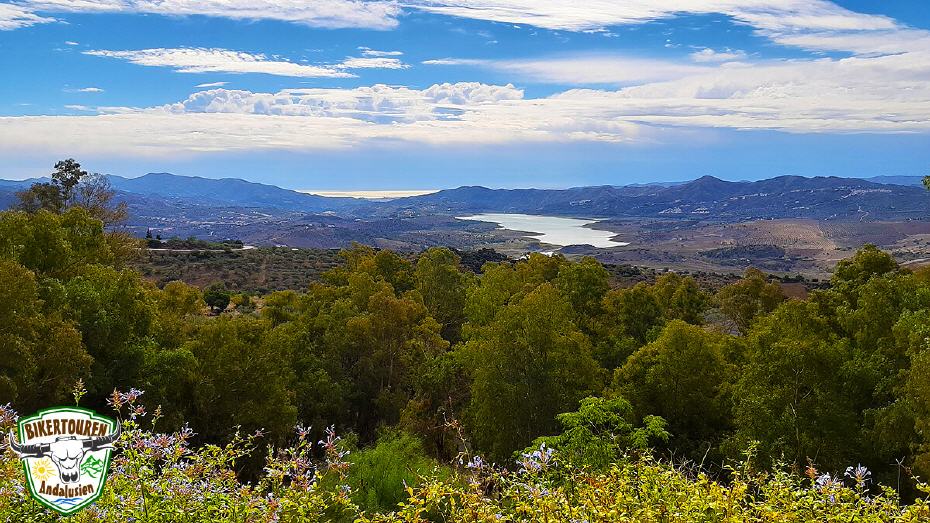
- Drive along the Sierras de Tejeda, Almijara and Alhama Nature Park | From the coast, the Sierras de Tejeda, Almijara and Alhama break the horizon with their spectacular mountain ridges that reach heights of over 2000m. Deep gorges and steep slopes characterise the landscape of the graceful mountains, whose highest peak reaches 2,068m (Mount Maroma). There are many caves and ibex are the most prominent representatives of the fauna.
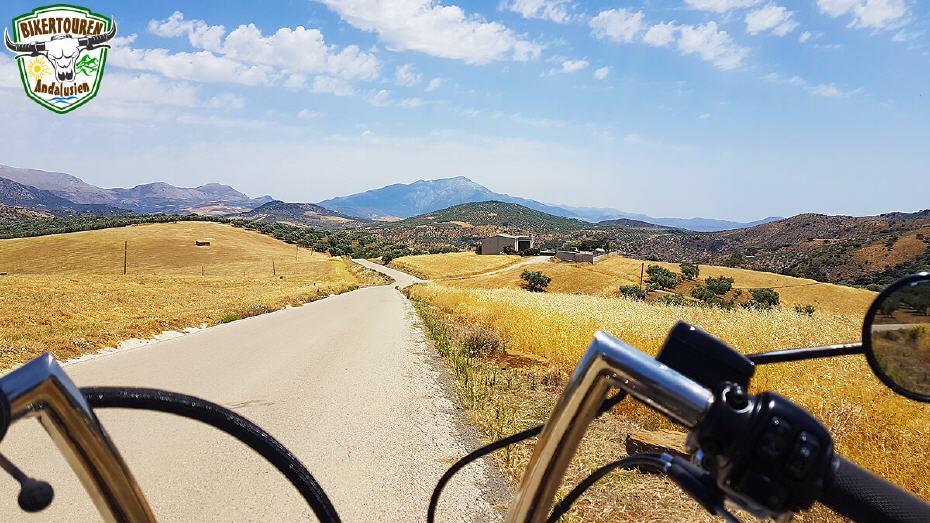
- Via Periana and Alfarnate to Casabermeja | The area is famous for its peaches, cherries and high quality olive oil produced here. During the Muslim period, the area before Casabermeja was known as Málaga's granary. [ Note: This stage can also be shortened, going from Periana directly to Casabermeja].
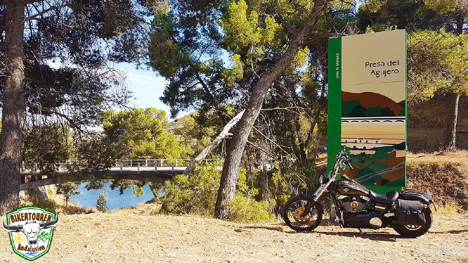
- Drive over a mountain ridge to the reservoirs del Agujero and del Limonero | crossing of the lakes on El Agujero dam.
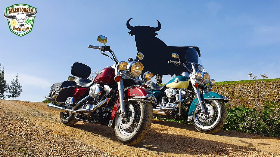
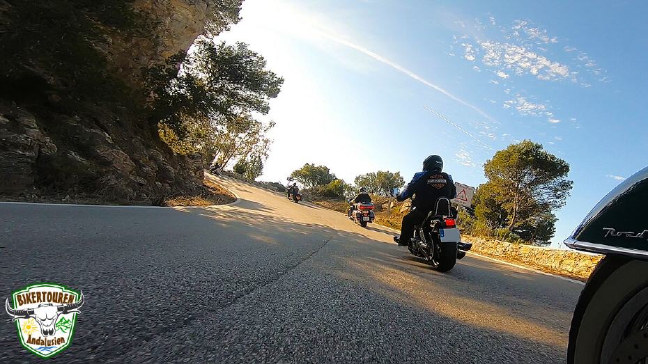
There are traditional ventas (inns) all along the route. There is always plenty of time for a rest with delicious tapas, Spanish desserts, ice cream and drinks. Throughout the ride, there are plenty of opportunities for spectacular group photos. We decide individually at the numerous photo points when to allow the tyres to cool down.
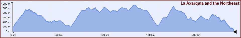
Heightgraph
Visit us on:![]()
![]()
![]()
![]()
Come to the sunny curve paradise!


