El Torcal and the north of Málaga

Stages of the route
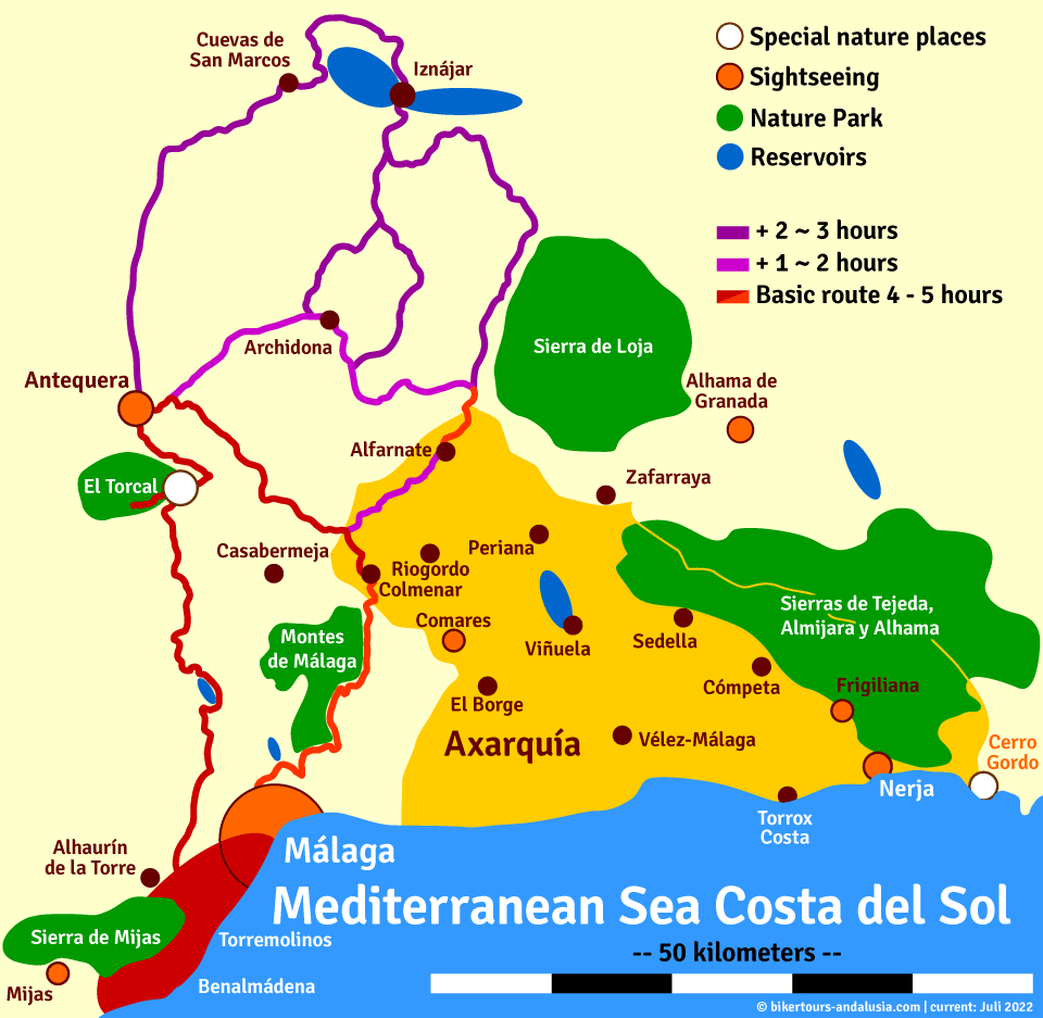
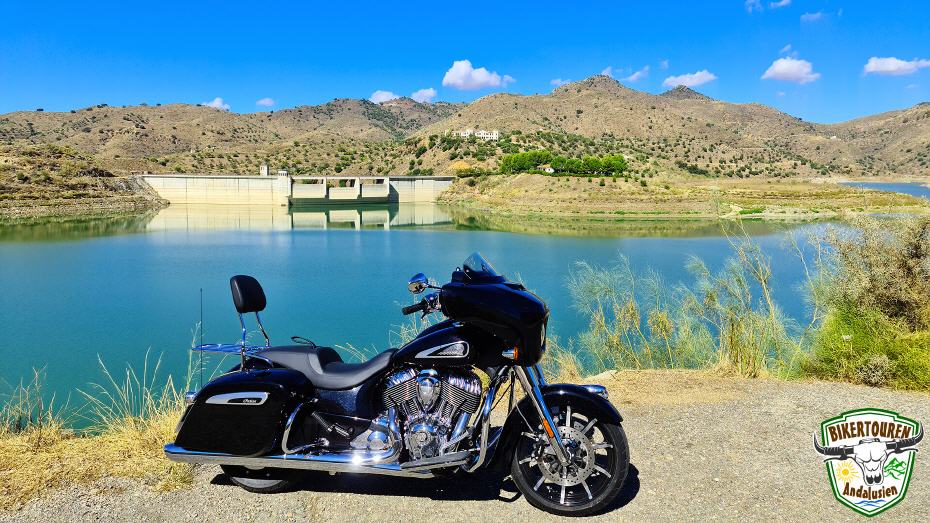
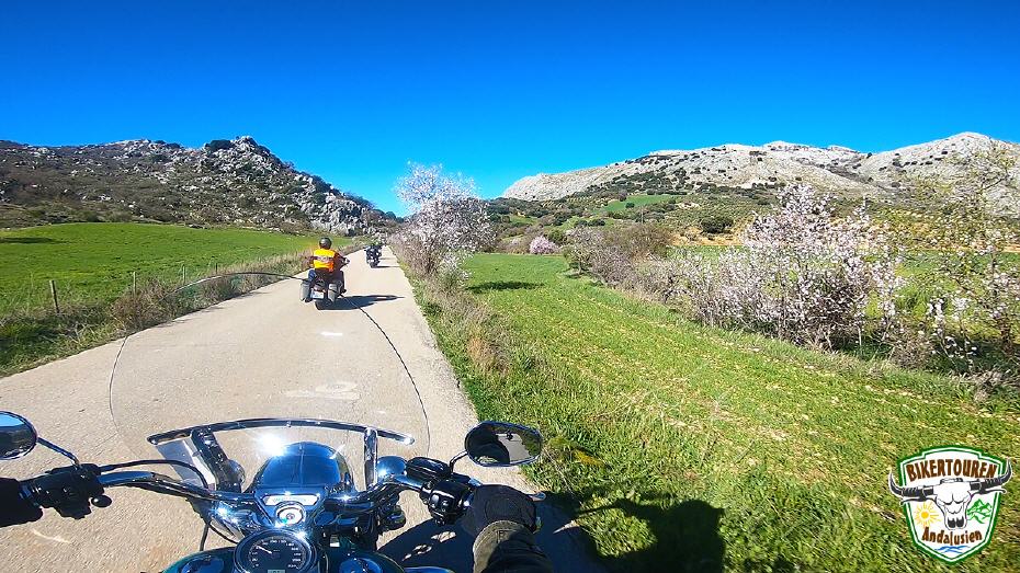
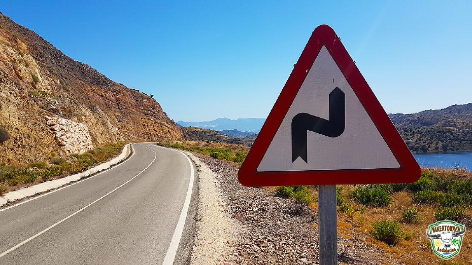
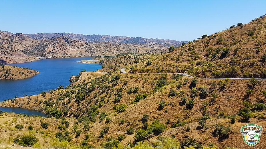
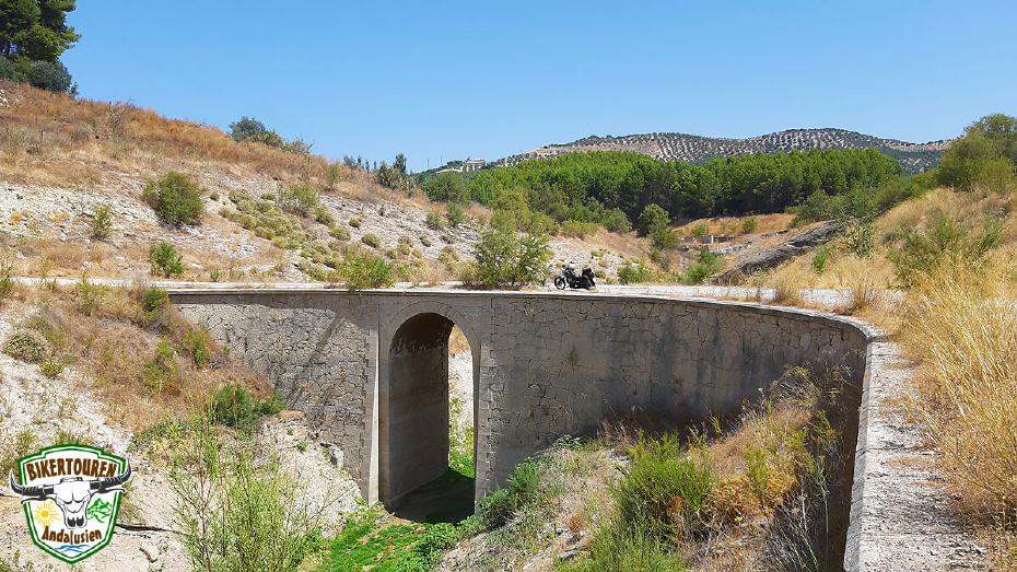
- Circumnavigation of the Casasola reservoir | From the northern city limits of Málaga, we drive into a mountainous area dotted with olive groves, almond trees and pines in the direction of Almogía. Here, with an area of approx. 112ha, lies the Casasola reservoir, which we drive half around.
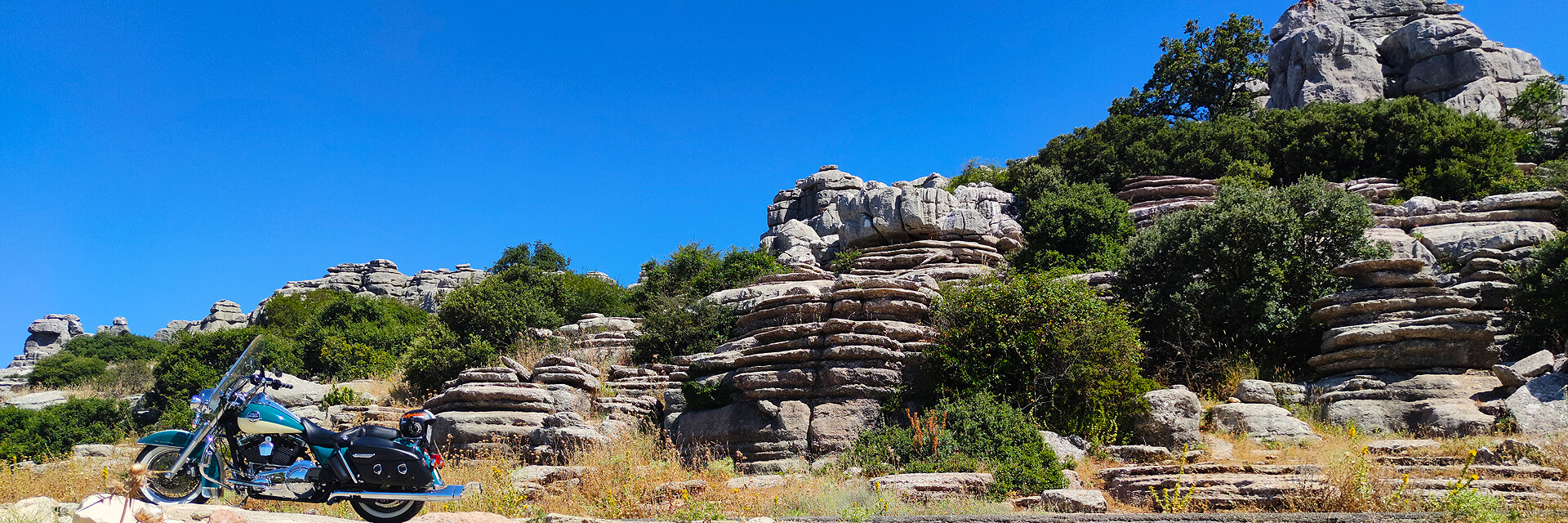
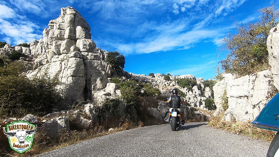
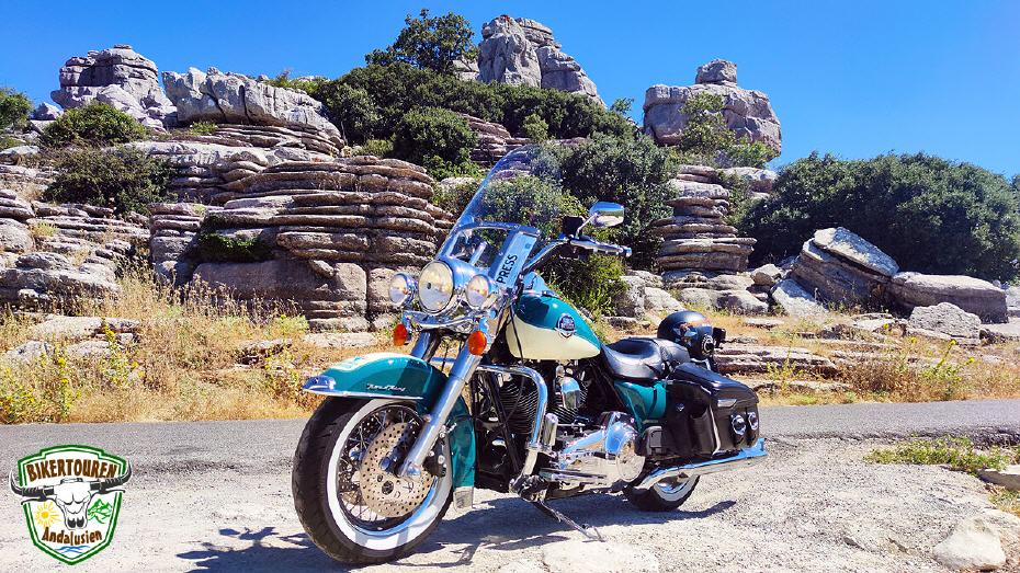
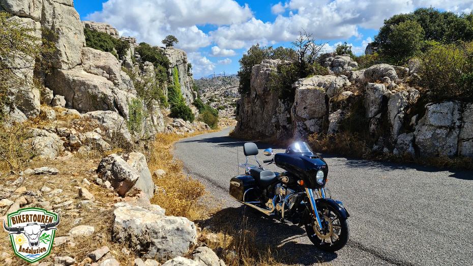
- Drive to the Torcal de Antequera Natural Park "El Torcal" | The extraordinary karst formations make the Paraje Torcal de Antequera one of the most impressive landscapes in Spain, which has been declared a World Heritage Site by UNESCO. The natural area (Paraje Natural) covers an area of 1,171 hectares. 100 million years ago, the area was completely covered by the Tethys Sea, of which only the Mediterranean Sea remains. The deposition of sediments formed layers of limestone that gave rise to a wildly rugged rocky landscape with fantastic stone formations. They resemble the stone sculptures in the American Brice Canyon, but there they shimmer orange-red. The area lies at an altitude of between 1,100m and 1,400m. If the access road is not closed, we drive directly to the highest viewing platform with a view of the Mediterranean Sea off Málaga.
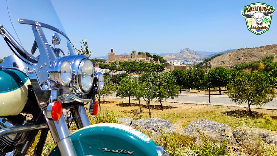
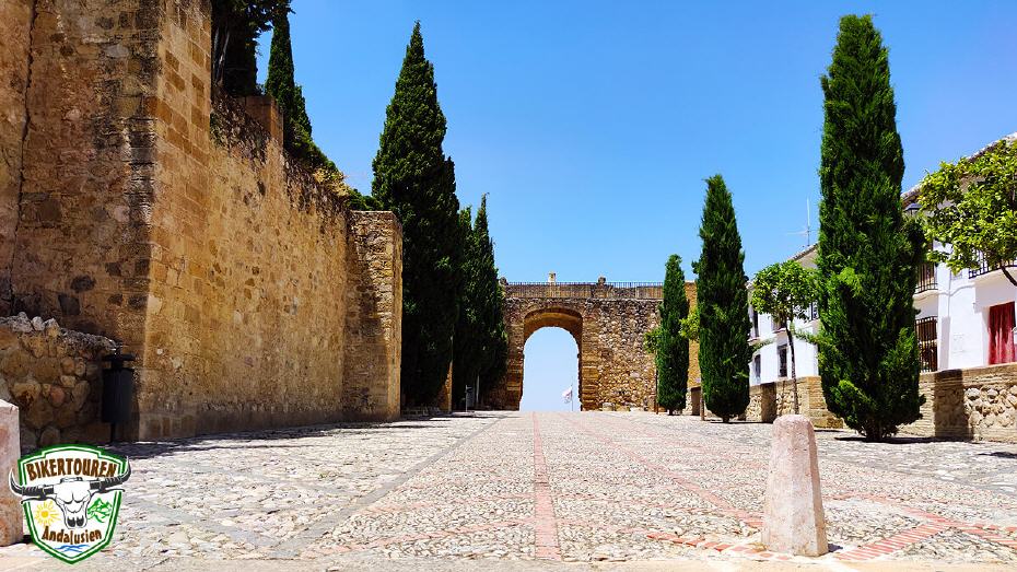
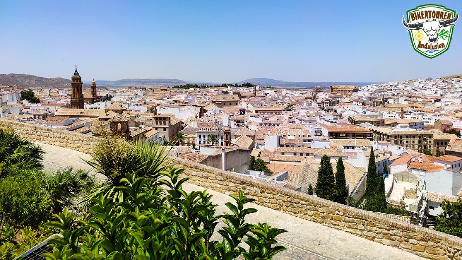
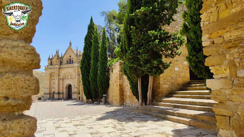
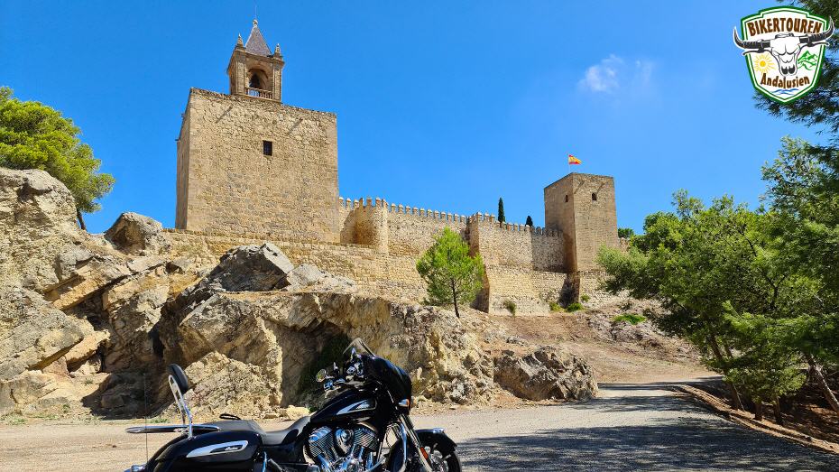
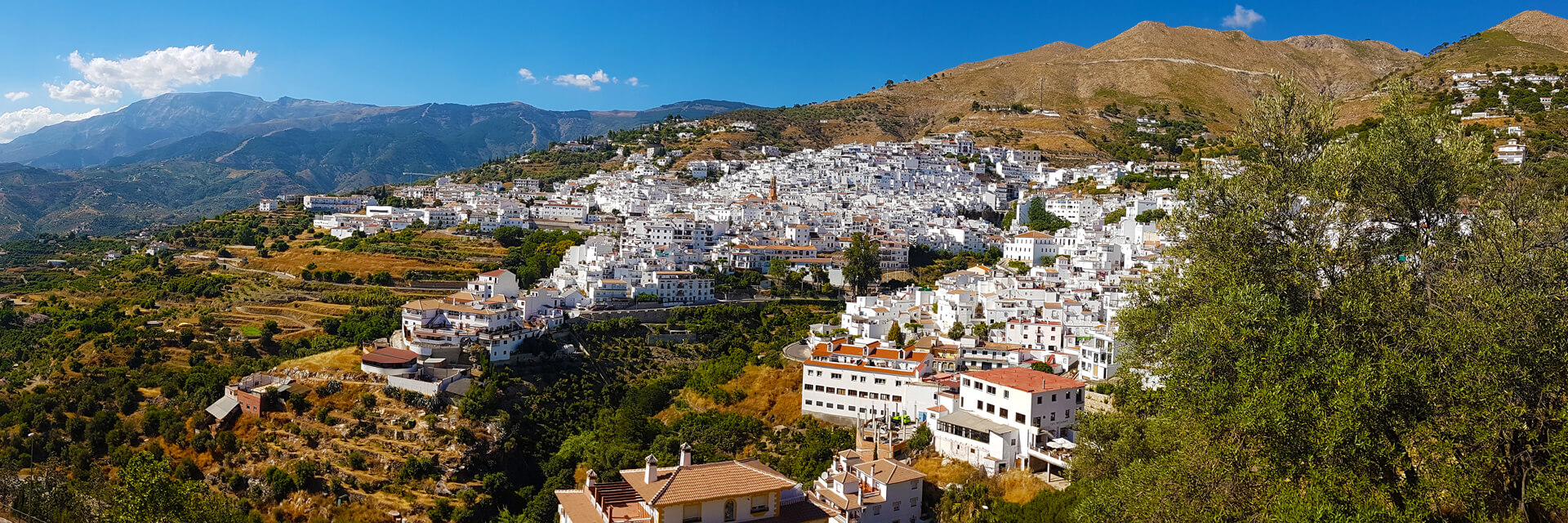
- Visit to the Moorish fortress Alcazaba in Antequera | Since the 16th century, the city has been nicknamed the "Heart of Andalusia" because of its geographical location on the communication routes - between the Andalusian cities of Málaga, Granada, Córdoba and Seville - and its cultural and historical importance. The Alcazaba of Antequera, which towers over the town, has its origins in the Moorish occupation of the Iberian Peninsula in the Middle Ages, as do many other historical buildings in Andalusia. It was built by the Moors in the 14th century on the ruins of a Roman fortification to stop the advance of the Christian "Reconquista". The Mirador Almenillas is located in the highest part of the old town next to the Alcazaba and the Arco de los Gigantes (Arch of the Giants) and offers an enchanting panoramic view of the city.
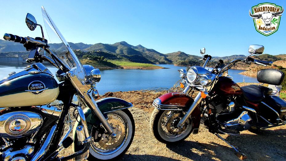
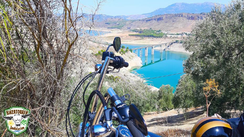
- [Route extension] Partial circumnavigation of the Iznájar reservoir | Situated in a picturesque natural landscape, the Iznájar reservoir is commonly referred to as "The Lake" of Andalusia. In the surroundings of Iznájar there are estates with a great tradition. We cross the dam and a bridge over the reservoir, which is already in the province of Córdoba. We cross the southern foothills of the Sierras Subbéticas Natural Park into the province of Granada and continue along the Sierra de Loja Natural Park towards the Mediterranean Sea. [Note: This stage is not ridden in the shortened route variant!]
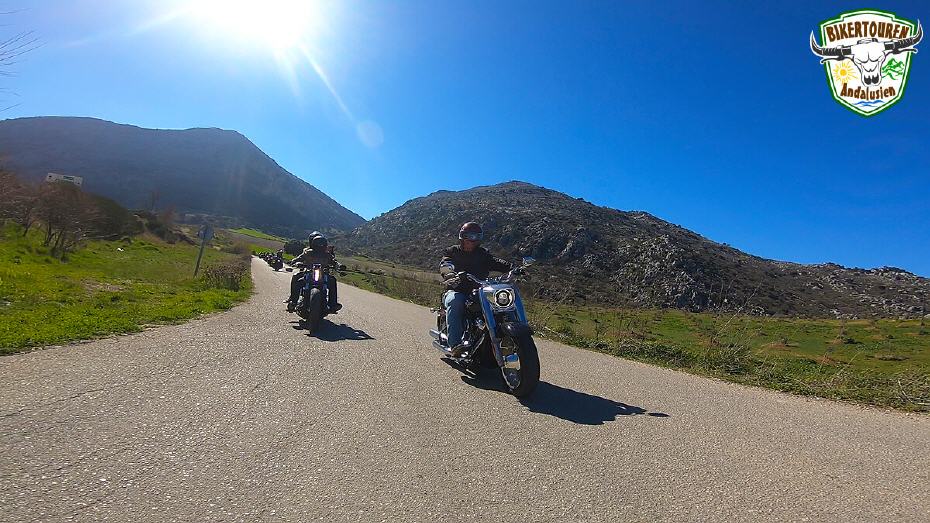
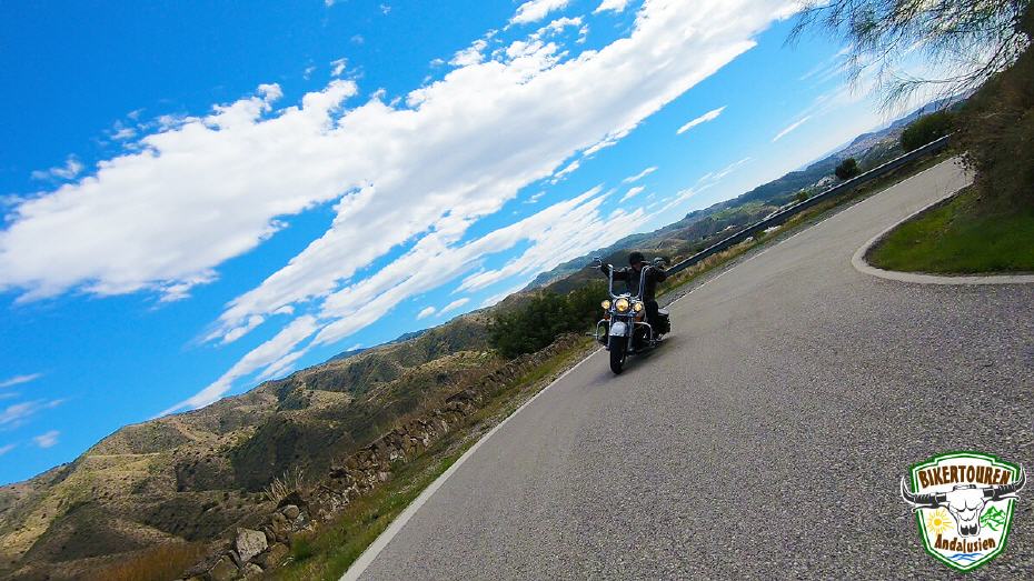
- Drive over the mountain pass Puerto de Los Alazores | It connects the province of Granada with the province of Málaga at an altitude of 1,028 metres. At the end of the 19th century, the phenomenon of "bandolerismo" (banditry) in Andalusia began there, as the mountain pass was on the royal road from Málaga to Granada.
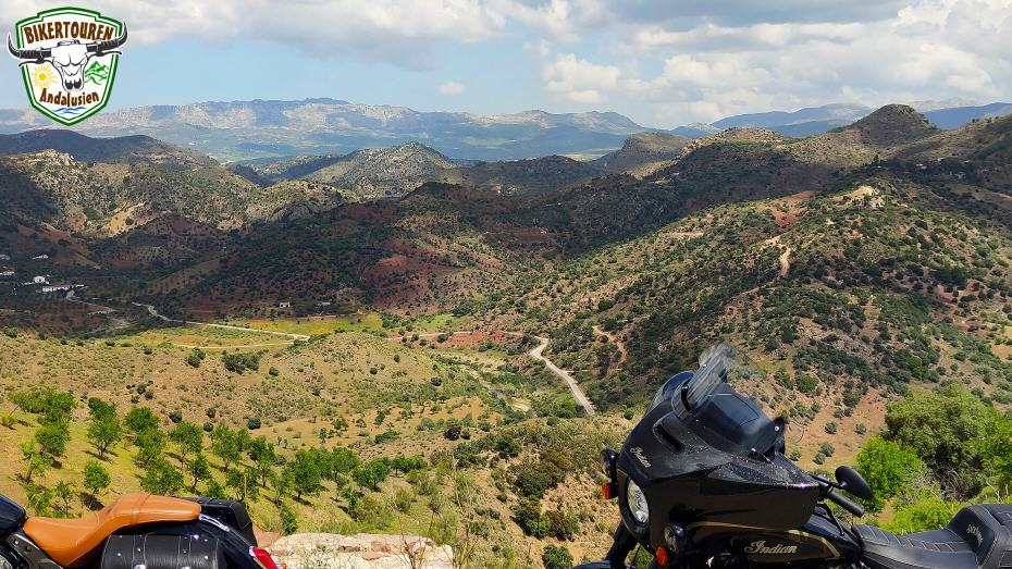
- Drive to the Montes de Málaga Nature Park | The Montes de Málaga Nature Park, which begins five kilometres north of the city, is a very steeply ascending mountain massif almost without valleys or plains, criss-crossed by countless torrents, steep paths and passes. Today it is considered one of the best examples of a largely successful reforestation of a typical Mediterranean forest. The nature park is particularly known for its stable occurrences of animal species, some of which are threatened with extinction. These include first and foremost chameleons, beaded lizards, ribbed newts, badgers, polecats, foxes, weasels, broom and wild cats, stone martens, wild boars as well as serpent and booted eagles, owls, sparrow hawks and goshawks.
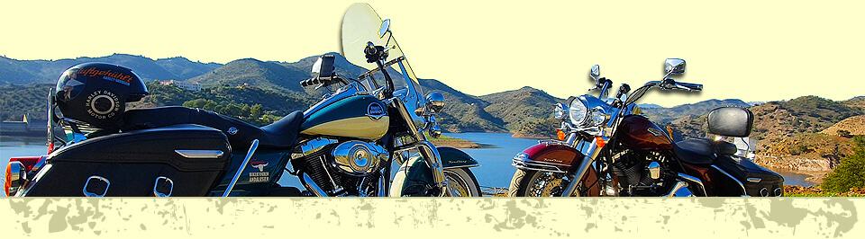
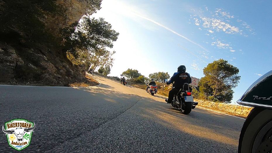
There are traditional ventas (inns) all along the route. There is always plenty of time for a rest with delicious tapas, Spanish desserts, ice cream and drinks. Throughout the ride, there are plenty of opportunities for spectacular group photos. We decide individually at the numerous photo points when to allow the tyres to cool down.
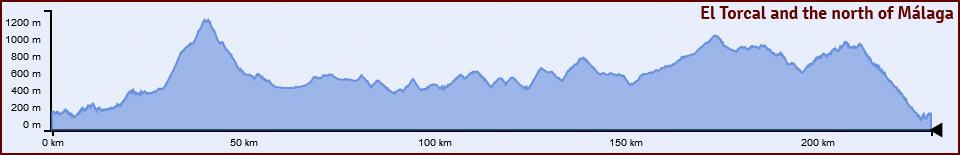
Heightgraph
Visit us on:![]()
![]()
![]()
![]()
Come to the sunny curve paradise!

